|
Views of W. Arunachal Pradesh
Images (Pakke)
Page content :
Images from the Highway above Tipi and Pakke (Khari area)
Links to images of other areas
Pakke
Eaglenest
Dirang-Tawang
The Highway above Tipi
click on the thumbnails for a larger image
|
The
Bomdila highway at Tipi
At the location of the camera, Pakke is to the
immediate right of the road and Eaglenest to the immediate left. 15 km
further on Sessa starts on the left side where Eaglenest terminates.
Nechi Phu, the saddle point of the road above Bhalukpong is on the last
ridge visible. The road climbs from 100m to 1730m with
a good mixture of badly degraded and primary forest patches, affording
excellent roadside birding for one who does not have time to visit
Eaglenest. |
|
The
Tipi access into Pakke
One can walk across Pakke from Seijusa to Tipi over
a few days and this path is the only access into the forest at Tipi. One
has to first cross the Kameng river (look for ibisbills on the banks)
and then follow a forest dept guide into the forest. A couple of
hours there gave us a blue-naped pitta, no less, once.
|
|
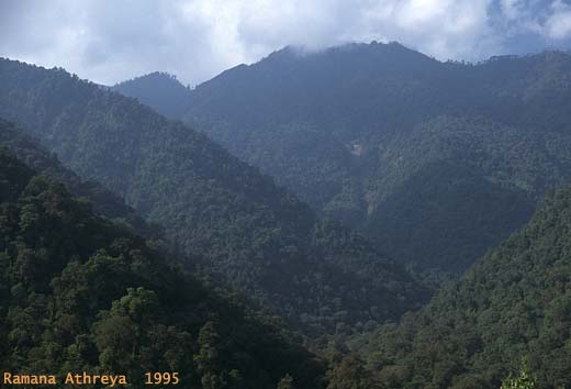
The
Sessa Peak/Ridge
divides Sessa orchid sanctuary from Eaglenest and at
3500m is the highest point in the area. Unfortunately Sessa has few
access trails into the forest and Eaglenest on the other side
is a better bet for the more serious birder.
|
|
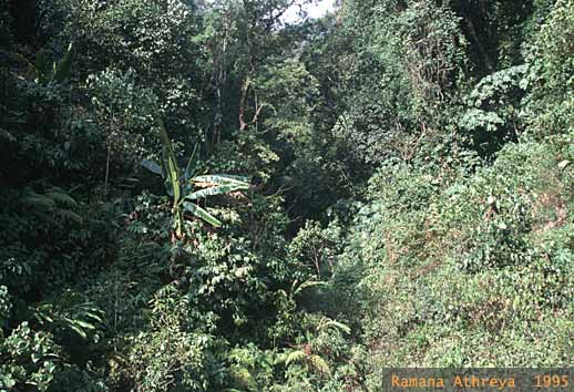
The
scrub - primary forest juxtaposition
which we shall encounter again in the Eaglenest
section is what makes this a prime birding area, i.e. apart from easy
access across 3000m of altitude. Primary forest often has frustrating
birding; extensive scrub usually only dishes out the commoner species
- but the ecotone between the two is superb for birders.
Unfortunately a road also brings in a lot of human intervention, as is
evident along the highway with extensive clear-felled patches where used
to be dense forest just 10 years ago |
|
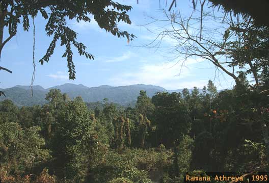
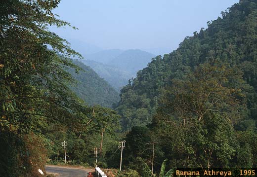
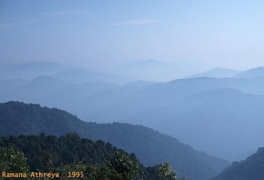
The Mountains of Mist - Hithaeglir
Early morning over the serried ranks of misty ridges
from Nechi Phu (1730m), looking eastward into E. Kameng. The stretch has
some very good cloud-forest along the road. Misty conditions prevail
during most afternoons.
|
Pakke (Khari)
click on the thumbnails for a larger image
|
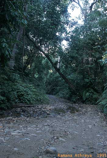
The
forest road from Seijusa to Khari
passes through excellent birding areas. The
last couple of km (out of a total of 10 km) is along the bed of a forest
stream. Jeeps can only traverse the road in winter. The rest of the year
one has to depend on 2 legs (one's own) or 4 legs (forest dept
elephants). Pygmy kingfishers, several forktail species, pied falconet
and a host of other birds can be seen here. |
|
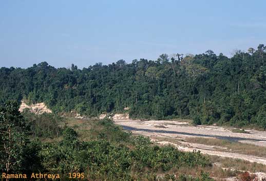
Views from the Khari
rest-house
Situated at a little elevation above the confluence
of Lalong and Khari rivers the "viewing machan", complete with a tea
table provides commanding views of the floodplains below and the hills
in the distance; except for a minor eyesore of a rusted electric
pole. We saw a large herd of elephants on the river bed from the machan,
while sipping tea, during the last visit. |
|
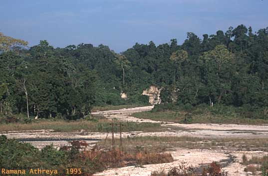
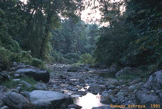
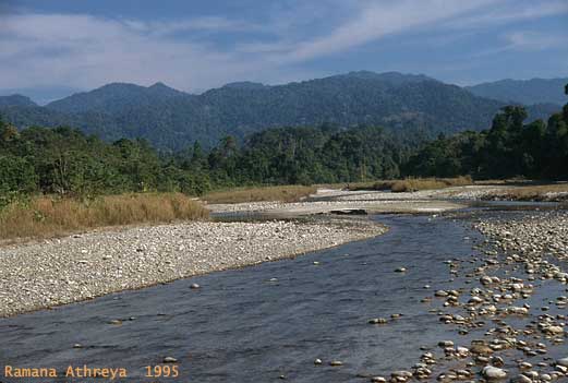
The
Lalong river
The river (and stream) beds offer the main pathways
for traversing the sanctuary - the Khari-Seijusa road is the only
manmade jeep track in the reserve. Ward's trogons, Walk along the river
banks scanning the forest edge, explore up the narrowing beds of streams
which join the main rivers and follow the occasional animal trail. |
(top)
The Eaglenest
Biodiversity Project was
funded by a grant from the Rufford Foundation (UK) to Ramana Athreya.
The information contained herein may be freely
used, provided that these webpages and/or the report (Athreya 2005)
are appropriately cited. The images are copyright and may
not be reproduced without permission from Ramana Athreya
The
author would appreciate an email
from people, scientists and tourists alike, who found these webpages
useful. |
|