|
Views of W. Arunachal Pradesh
Images (Eaglenest)
Page content :
Images -
Panoramic views
Vegetation Types
Canopy Views
Campsites
Links to images of other
areas Pakke
Eaglenest
Dirang-Tawang
Panoramic Views
click on the thumbnails for a larger
image
 |
 |
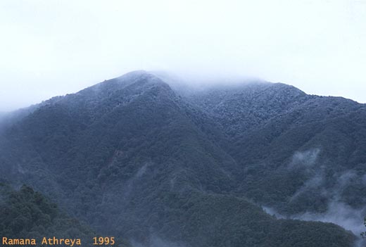 |
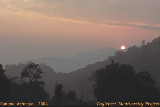
| Eaglenest
Pass from near the Sunderview camp. The slope on the right edge of the
image climbs up to the Sessa Peak. |
Looking
south from the Eagle- nest Pass down the Sunderview valley
|
Sessa
peak from Eaglenest |
 |
 |
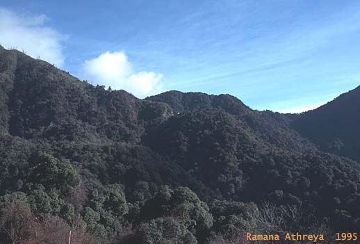
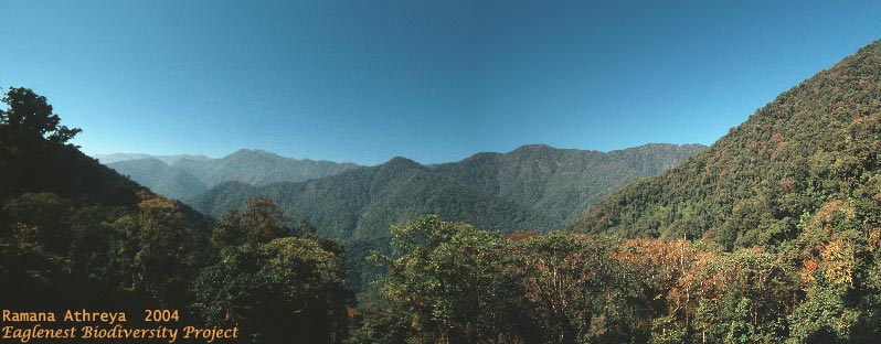
A panoramic view of the western ridges of Eaglenest
from above Bompu. Bhutan lies just beyond the last ridge.
|
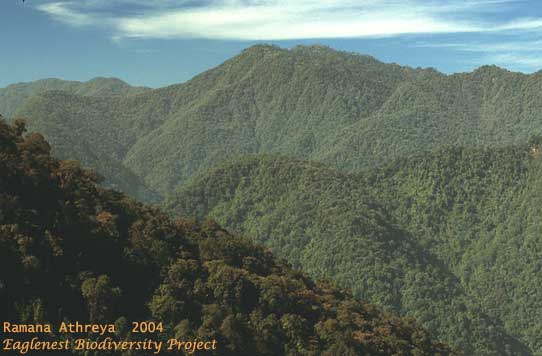
Central
section of the w. ridges - pristine pathless wilderness! |
 |
 |
|
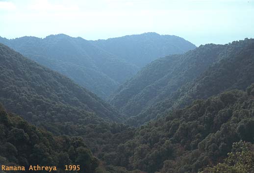
The
Hathi nallah ridge behind Sessni - from just below Bompu
|
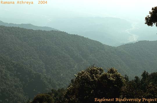
The foothills fade away into the haze of the Assam
plains. Sessni is at the near end of the visible road,
Khellong just beyond the main ridge, and Doimara in the broad
river valley |
Vegetation Types
click on the thumbnails for a larger
image
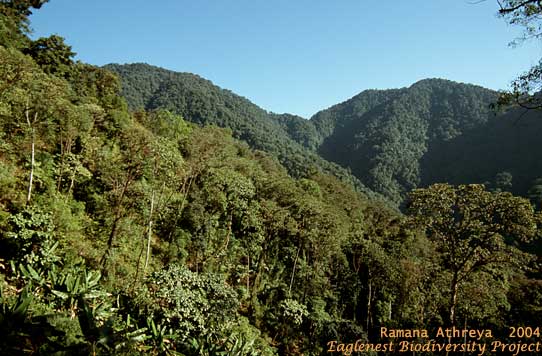
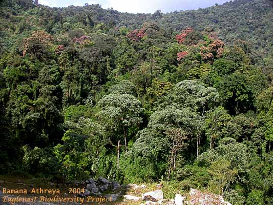
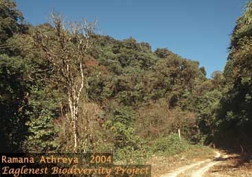
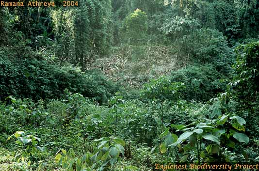
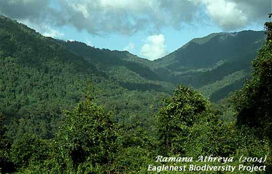
What
makes Eaglenest a prime birding area is the proximity of roadside scrub
to primary forest just a few metres away. Regeneration
passes through various stages including banana and bamboo, i.e. if
elephants allow the banana and bamboo to pass unmolested!
|
 |
|
Bompu-Sessni road
- 1800m
|
 |
 |
 |
| Bompu - Sessni road
- 1600m |
Below Eaglenest
Pass - 2600m
|
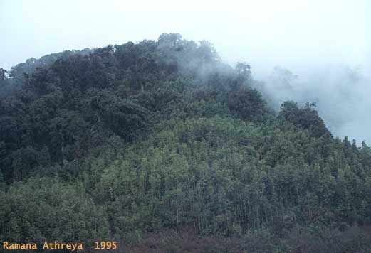
Chakoo - Bompu
road - 2400m
|
 |
 |
 |
| Bhooth kolai
- 2300m |
Elephant
dining room
|
Bamboo stands at
Bompu
|
Canopy Views
click on the thumbnails for a larger
image
|
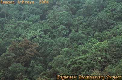 |
Two
views of the canopy in the subtropical forest below Bompu at 1500m |
|
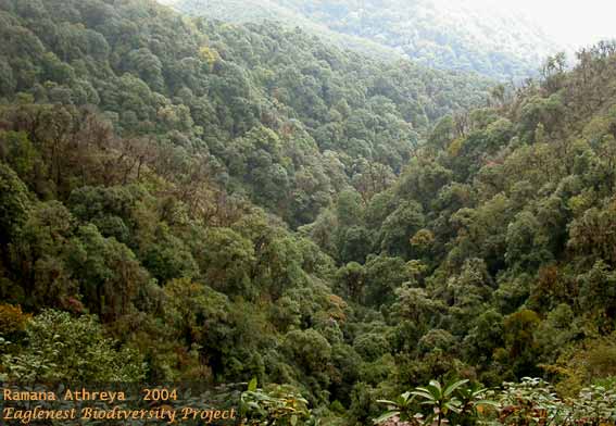
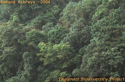
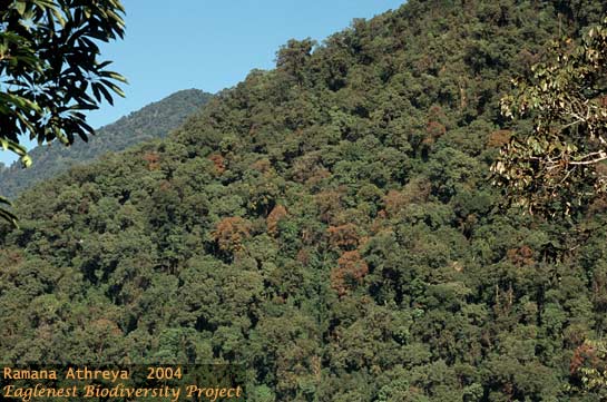
This
montage of 3 images shows progressively closer views of the subtropical
forest at 2200m on the hillslope to the right. The hills look smooth not
only on distant views - the canopy presents a closed front even from up
close. |
 |
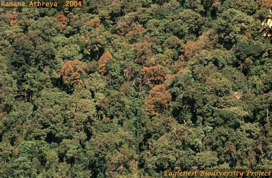 |
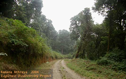
Eaglenest
is perhaps the only extensive stretch of montane forest which is
pristine and yet has a road passing through it - and this is true across
3000m of altitude!
|
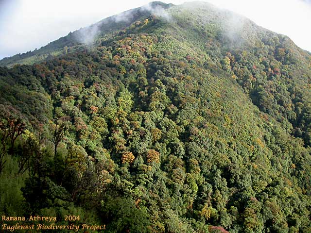 |
This temperate forest canopy at 2700-3200m, just
off the road at Eaglenest Pass, would do any tea-garden proud,
presenting as it does an unbroken surface from top to bottom!
|
Campsites
click on the thumbnails for a larger
image
|
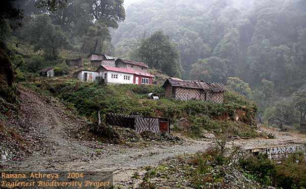
The Sunderview GREF campsite
Located at 2465m this site has lots of camping area,
water brought from a nearby stream through bamboo pipes and a concrete
structure which can shelter 2-3 people. This shack is typical of the
shacks at other locations in Eaglenest. The bamboo huts sprinkled around
the area used to house the large workforce upgrading the road. Further
work on the road, started by the army without approval of the Forest
Dept, has been stayed by the Supreme Court pending a final
judgment. |
|
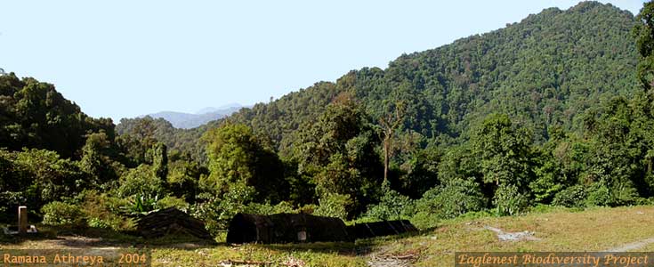
View from the Sessni Campsite
Sessni, at 1250m, overlooks a vast bay in the hills
and is situated in the midst of excellent upper-tropical forest.
|
|
View from Khellong
Situated at 750m just below the sanctuary boundary
Khellong is ideal as a base for the entire lower reaches of the park
from Doimara to Sessni.
|
(top)
The Eaglenest
Biodiversity Project was
funded by a grant from the Rufford Foundation (UK) to Ramana Athreya.
The information contained herein may be freely
used, provided that these webpages and/or the report (Athreya 2005)
are appropriately cited. The images are copyright and may
not be reproduced without permission from Ramana Athreya
The
author would appreciate an email
from people, scientists and tourists alike, who found these webpages
useful. |
|